Flatbush today consists of various neighborhoods like: Midwood, Beverly Square, Ditmas Park, Caton Park, Fisk Terrace, Prospect Park South, and Albemarle-Kenmore Terrace. Flatbush extends from Parkside Avenue to Avenue H from the north and south directions. Via west and east, Flatbush extends from Rogers Avenue to Coney Island Avenue. Transportation in the 1800’s was very limited. If one wanted to go to Flatbush town from the town of Brooklyn, one had to walk. Walking during that time would take all day. Some would walk like the great Brooklynite Historian, Gabriel Furman. Today one could travel from the town of Brooklyn, today’s Brooklyn Heights, to Flatbush by various means of transportation in only minutes.
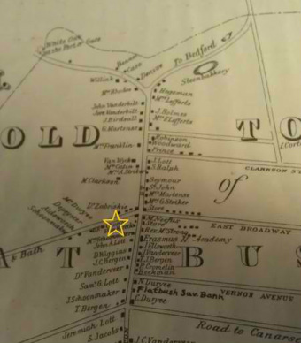
The star on the map indicates the location of the Dutch Reform Church.
Copy of the map of the town of Flatbush in Dr. Strong’s history, 1842; Map Collection, B A 1842 [19--?].Fl; Brooklyn Historical Society.
|
Map of the location of the Dutch Flatbush Reformed Church, 2012. Google maps. maps.google.com
|
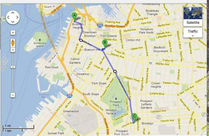
Furman's Walk in 1821 on a 2012 map. Map.google.com. August 16, 2012.
|
Image Above: The junction of Flatbush and Church Avenues, ca. 1918, v1973.6.385; Brooklyn photograph and illustration collection. ARC.202; Brooklyn Historical Society.
